![]()
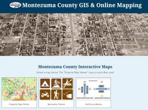
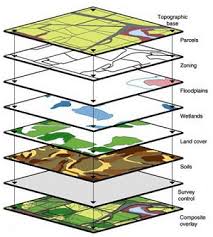
The Geographical Information System (GIS) office is a department within Montezuma County. The office is responsible for maintaining data such as parcels, roads, addresses, and districts. It is also involved in procuring other data including aerial imagery, soils maps, flood zones, terrain models, and land-use zoning.
The GIS office is involved with many County offices such as the Planning Department, Assessor’s Office, Natural Resources & Public Lands, Elections Department, and Emergency Management. The public and local businesses also work with the GIS office on maps and special projects. The GIS Manager reports to the County Administrator.